


On December 11, 2025, a
meeting between first-year students of the Geoinformatics program and
representatives of GeoMaster was held at the Astana International University
School of Natural Sciences.
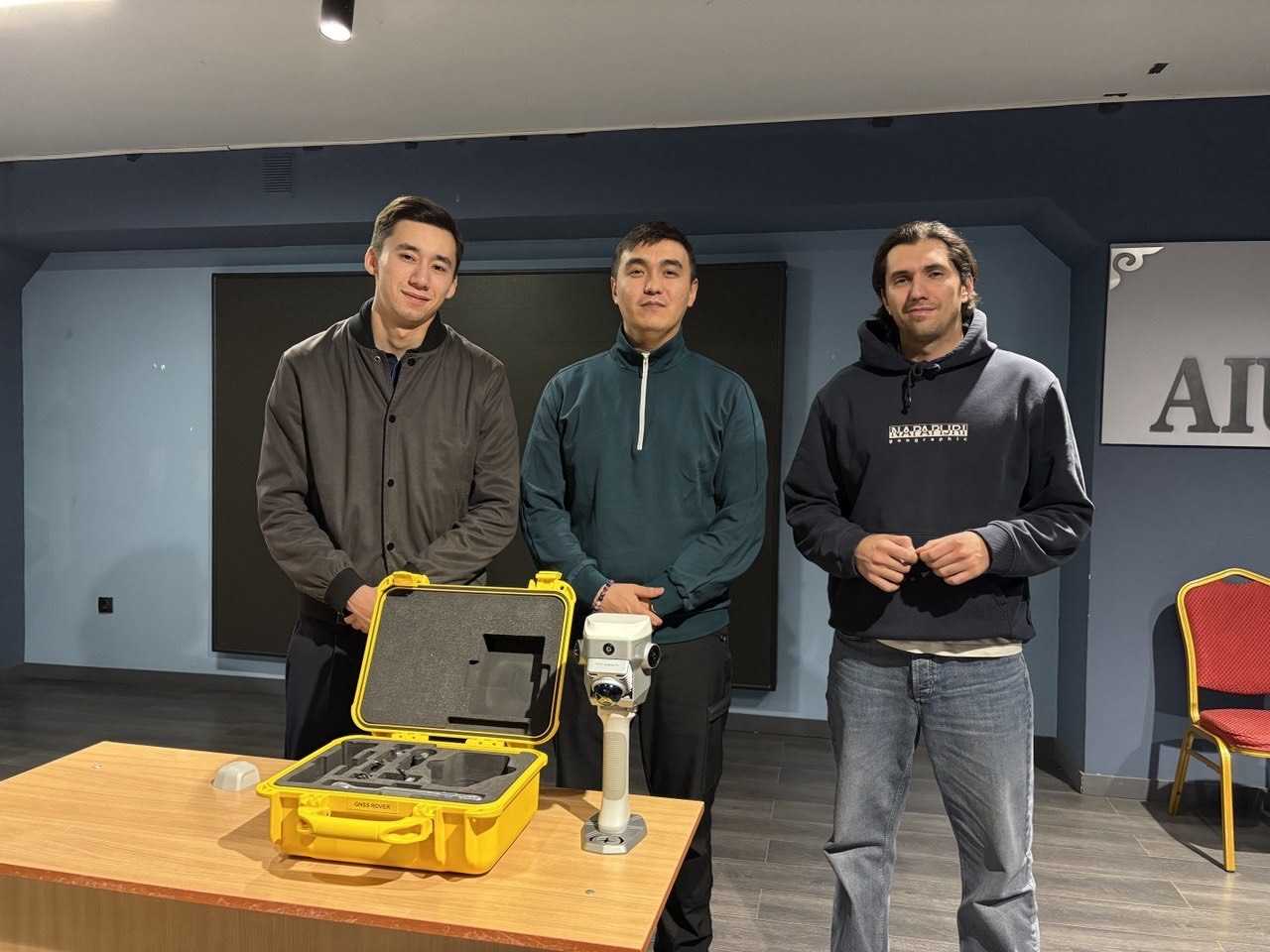
During the event, the
company's specialists presented modern surveying equipment that combines GNSS
and lidar scanning technologies, enabling the acquisition of point clouds at a
range of up to 70 meters with a 120° field of view, as well as the creation of
highly accurate 3D terrain models.
The students expressed active
interest in the practical application of the presented technologies, discussed
the prospects for the development of the geoinformatics profession, and asked
questions regarding specialization and career opportunities in the industry.
The meeting was organized by
A.A. Smailov, a lecturer at the School of Natural Sciences.